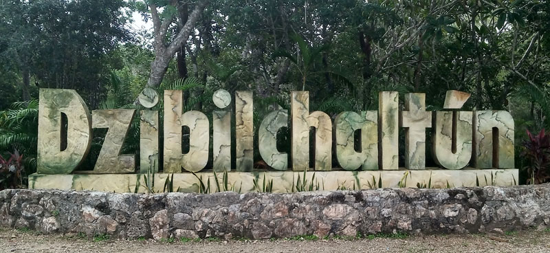
Our own local Maya archaeological site is open again! Although the museum and cenote are both still closed, the long, thin site offers a great chance to take an interesting hike of about 3 kilometers. Entry to the site costs MX$75, but is free if you show your INAPAM and Residency cards.
Located so close to Progreso, it’s hard to call Dzibilchaltun a “back road” site. But WITHIN the monument, you can easily leave the guided “beaten path” for a shady walk in the woods. The tourists generally stick to the wide, central Sac Be, leaving the shaded areas to the north and south very quiet. Here’s our walking route:
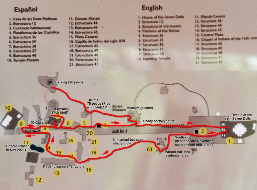
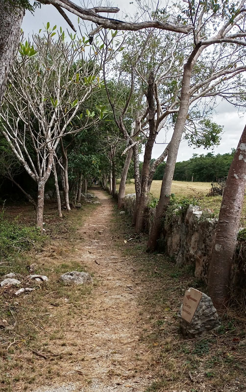
You enter the site and pass thru the outdoor Museum display of carvings and stelae with signs in Spanish and English. Then when you reach the Sac Be, turn left instead of going up.
(You see the little “Siete Muñecas” (7 Dolls) sign on the rock in the photo.)
This is a well-maintained and shady trail; a really pleasant walk.
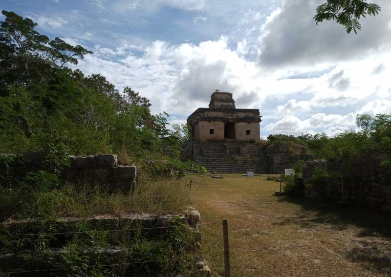
Here’s what all the tour buses come to see, the iconic Temple of the Seven Dolls. (Named because seven small figurines were found inside it; that is not a Maya name!)
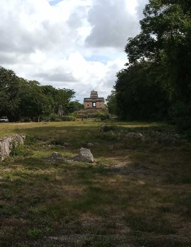
You may choose to walk west from the Temple along the raised Sac Be. But we chose the shady south side instead. As you can see in the photo, this is not a maintained trail. It was easy to walk, but you do have to watch your step.
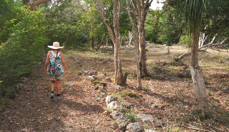
Our route brought us to this maintained side trail to the south, which no guided tour ever showed us. (It’s our “Back Road” of this trip!) You’re walking to a residential area with some stelae and structures to wander around.
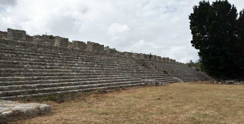
Instead of going back to the Sac Be, we took an easy route thru the woods toward the western area where most of the buildings are. The route popped out right next to the huge “Structure 44,” a set of “bleachers” suitable for a huge Maya ball game audience!
You can easily climb this for a nice wide view of the area.
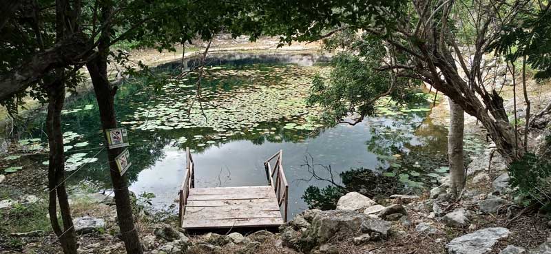
There are several buildings to visit in the area, including the chapel built using stones from a building the constructors tore down first. but we went to the beautiful Cenote Xlacah.
No swimming due to the pandemic, but it is still lovely to look at.
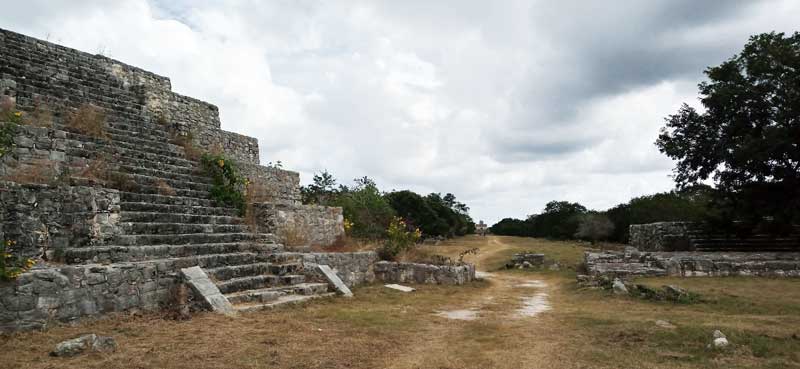
We walked from there around the cenote to the north and west, and then back to the very prominent and climbable pyramid. You get a nice view down the Sac Be to the Temple from here.
We learned on our trip to Cobá in Quintana Roo that sometimes there are trails that go around behind major buildings, and this pyramid had one. We wandered back there and were thrilled to see a Toh bird on a branch ahead of us. I just started shooting as I walked slowly forward; the photo below is the closest I got.
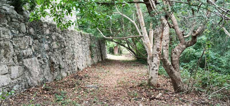
The trail behind the pyramid 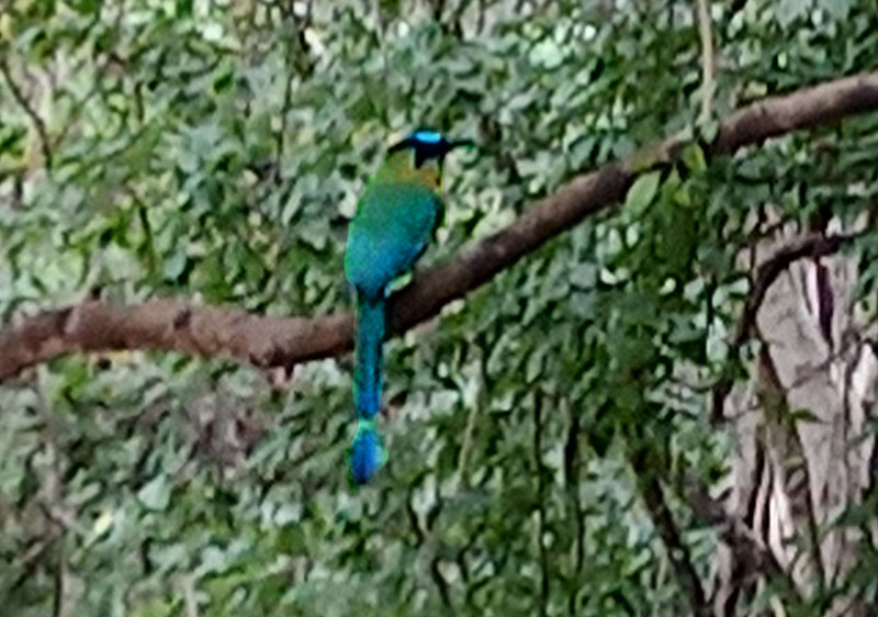
The Toh bird on the limb over the trail
And that’s our trip! We returned via the road thru Chabakal and then back to the beach on the highway to Chicxulub Puerto. This is a trip you can do in a morning; we were home for lunch!